


The Dam Rock Station Playing Anything that Rocks!!
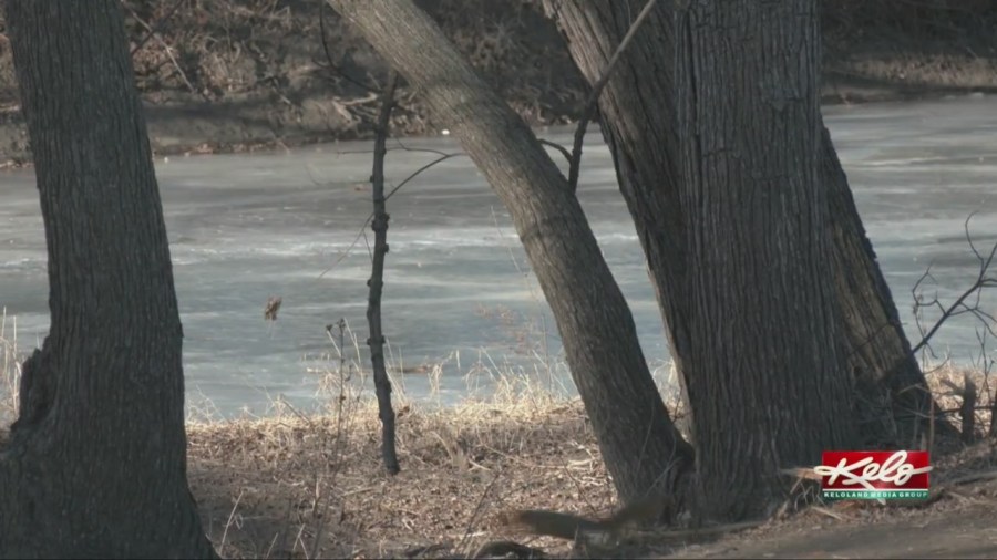
SIOUX FALLS, S.D. (KELO) — It comes as no surprise that drought conditions across KELOLAND are not changing much. But looking at the numbers, we’ll be ready for a change as we get closer to spring.
With January wrapping up, the snowfall totals remain very low. Sioux Falls is sitting at about 18% of normal so far. Aberdeen is at 13% of normal, while Pierre is at 46%, and Rapid City sits at 61% of normal.
Frustration with unreliable heat at Woodlake Apartments
Of course, the months of February and March are often snowier and wetter than January. It certainly can’t get much drier.
The new rankings show the east central and southeast districts of South Dakota as some of the driest on record for January rated at 126th driest out of 133 years of record keeping.
Much of southern Minnesota is even drier, ranking either the driest or second driest of all time. That’s not exactly a great start to a year that will need to change patterns in the coming weeks.
The weekly drought monitor released Thursday morning shows a slight improvement in far western and northwestern South Dakota, but the overall picture of moderate to severe drought remains about the same for most areas.
As for now, any relief in moisture will have to come in the form of snow for portions of the region next week.