


The Dam Rock Station Playing Anything that Rocks!!
SIOUX FALLS, SD (KELO) — The short and mid-range outlooks for KELOLAND are going to be a great reminder of why the phrase “March Madness” can be used for more than just college basketball.
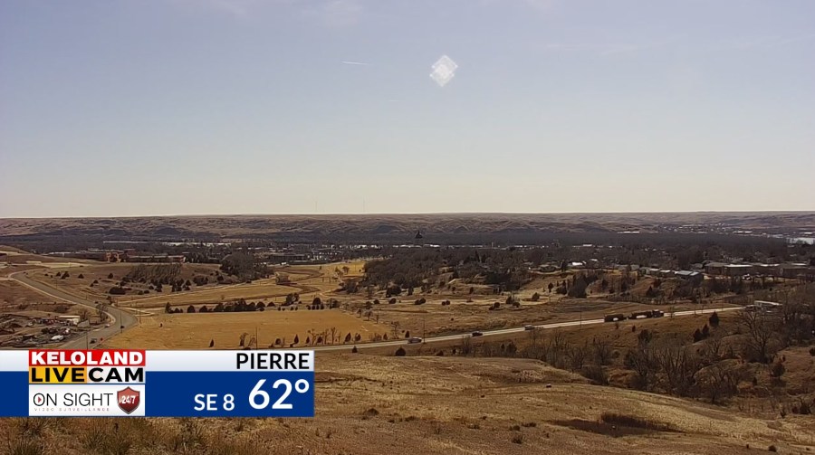
First, the good news: It was a gorgeous day today across KELOLAND with ample amounts of sunshine and well above average tempreatures.
As of 2 pm CDT Wednesday
The bad news: We’re still dealing with very dry conditions…both in terms of dry air and even drier vegetation. As a result, we have red flag warnings in place on Thursday for a good portion of central, southern, southwestern, and southeastern KELOLAND. Please be mindful with any outdoor heat sources. Even a discarded cigarette butt can cause a grass fire to start and spread quickly with conditions like this.
That leads into the Friday and Saturday outlooks…both of which are centered around a deepening area of low pressure that will turn into an impressive late-season storm system for the central United States. Right out of the gate, this looks like more of an East River system…as much of the moisture with this low misses our West River communities. We still could see something out west at times, but chances increase once you cross the Missouri River.
I digress. Moisture that builds with this low starts as rain on Friday, with a few thunderstorms possible at times near and east of I-29.
In fact, a “Marginal Risk” for severe weather is in place for portions of SW Minnesota and NW Iowa for Friday into Friday night. A “Slight Risk” is in place in the Spencer/Storm Lake, IA area. Damaging winds and hail are the main concerns.
The main detail to watch going into Saturday is when/how quickly we get rain to mix with and even switch to snow as we head into Saturday. There’s going to be a lot of cold air coming in on the back side of this low, so it’ll be a matter of how the low tracks and the timing of each component.
While amounts are hazy, it’s something to consider if you have any travel plans on Saturday. Regardless, it’s going to be rather windy as well on both sides of the river.
Sunday will be a cooler day, with 40s and 50s for highs east and west of the river respectively. We’ll warm up again headed into next Monday and Tuesday with a good amount of sunshine in place before we watch the middle of next week for our next system that may bring a chance for rain and snow showers.
Here’s a look at your extended forecast: