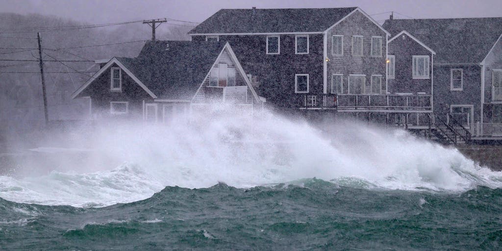
WASHINGTON – Parts of the Northeast and mid-Atlantic could be in for their biggest snowstorm of the season later this week if all the pieces come together, according to the FOX Forecast Center. Confidence is increasing, with computer forecast models showing an impactful winter storm developing in the Plains and tracking across the central and eastern U.S. However, uncertainty remains about the system’s exact track and what the impacts will be for those along the heavily populated Interstate 95 corridor. The energy for this storm moves out of the Rockies and into the Plains on Monday before heading east. Where this system reaches the East Coast and how close it stays to the coastline could result in some of the most impactful snow of the year for the Northeast and mid-Atlantic later in the week.The FOX Forecast Center expects snow to first develop in the central Plains and mid-Mississippi Valley later Monday and into Tuesday, where winter weather alerts have already been posted.Significant snow is possible for parts of Kansas, Colorado and Missouri, with 6-10 inches of snow falling in parts of southeastern Kansas and south-central Missouri. As this storm heads east, winter weather impacts could be felt in the mid-Atlantic and Northeast from late Wednesday through early Friday.The FOX Forecast Center said this storm has the potential to become a nor’easter, but it depends on the exact track and the amount of moisture surging into the system as it approaches the East Coast.”The preferred track, if you want to have the big Northeast blizzard, is to hug the coast to some degree,” FOX Weather Meteorologist Ari Sarsalari explained. “And then it gets just a little bit off the coast at the right time.”However, if the low-pressure system moves farther out into the Atlantic Ocean, away from the East Coast, areas like Washington, New York City and Boston might not see the major winter storm that some computer forecast models suggest.HOW ONE POINT ON A MAP CAN DETERMINE WHETHER I-95 CORRIDOR SEES SNOW OR RAIN FROM A NORTHEAST SNOWSTORMThe ingredients are there for a powerful storm, with arctic air dropping temperatures below freezing along the East Coast by midweek. If the jet stream interacts with the upper-level storm energy from the Pacific Ocean, this system could be loaded with moisture, leading to a powerful storm. “The question is, does it do this out to sea thing or does it come up here and hug the coast? Everything is on the table,” Sarsalari said.According to the FOX Forecast Center, computer forecast models should come into better agreement in the next day or two, providing a better answer to the big question: Will the Northeast experience a nor’easter this week?


