


The Dam Rock Station Playing Anything that Rocks!!
SIOUX FALLS, SD (KELO) — Despite getting in on some sunshine today, temperatures struggled to reach the double digits above zero in many locations. It’s going to get even colder to start the new week…but there’s relief in the long-range outlook.
As of 4 pm CST Sunday
Until we get there, though, we need to address the elephant in the room: Bitter cold that grips KELOLAND for the next several days. A blast of arctic air will plunge into the central United States and stick around through at least Wednesday, setting the stage for some dangerously cold air temperatures and wind chill values.
Here’s a recap of the cold weather headlines: Extreme cold warnings are in place in darker blue, extreme cold watches are in effect from Bon Homme County to Le Mars, IA, and cold weather advisories are in place in lighter blue along I-90 and into portions of NW South Dakota. The details go into when these headlines expire.
First, extreme cold warnings are in effect along and north of US Highway 212 until Wednesday morning. The warning in the Pierre/Miller area goes until Tuesday morning. The warning for Huron/Madison/Brookings/Marshall goes until Monday morning.
The cold weather advisories are in effect through midday on Monday, with additional headlines on the way…including an extreme cold watch for some in place for Monday night into Tuesday.
The take-home message remains the same: This is some dangerous cold that is on the way. Do what you can to stay warm and plan accordingly if you must head out. Make sure your vehicles are ready to go as well.
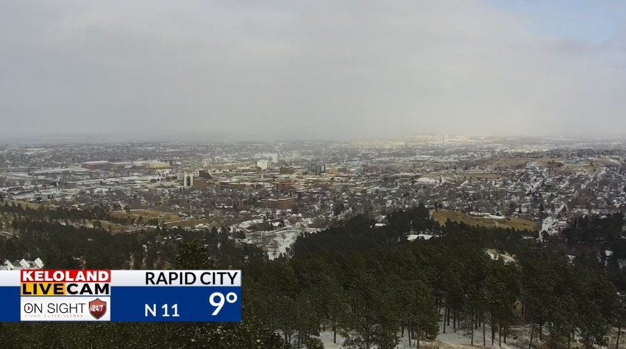
We also have some snow to watch out west, with a winter weather advisory in effect for SW South Dakota…including the Rapid City area…beginning on Sunday night and going through Tuesday morning. 2-4″ of snow will be possible in the advisory area.
The good news is that we finally get relief from the cold by the end of the week and into next weekend. A notable warm-up is in the cards for KELOLAND, with above average temperatures making an appearance just in time for the last week of February.
Odds for above average temperatures are favored as we head into the end of the month.
Here’s a look at your extended forecast: