


The Dam Rock Station Playing Anything that Rocks!!
SIOUX FALLS, S.D. (KELO) — After last week’s preview of March and even April at times, we’re back to reality with wintry weather impacting KELOLAND…whether it’s snow for some, icing at times for others, or colder temperatures for everyone.
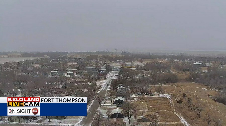
As of 1:30 pm CST Monday
A winter weather advisory remains in effect until 4 pm CST Monday for portions of SW Minnesota and NW Iowa. A glaze of ice is possible due to a lingering freezing drizzle/mist. Please be careful if you must head out.
Moisture will gradually move out of here as we head into the evening and the overnight time frame, allowing for a small break to come along on Tuesday. Cloud cover will be a bit stubborn, but at least it’s mainly dry. We’ll also be breezy at times, so be mindful of this as you go about your day.
A new low pressure system moves in by Wednesday, sending a chance for snow in several areas and a mix at times to the southeast before transitioning to all snow.
We’ll get another small break on Thursday before we watch the Friday/Saturday time frame. Another area of low pressure moves in, with a better chance for snow on the way. Saturday holds the better chance of the two days, and while amounts are still up in the air, it’s the best chance for snow that some areas of KELOLAND have seen in a while.
All the while, temperatures remain near to below average through the rest of the week. In fact, chillier temperatures stick around going into the middle of February…with odds for below average temperatures being favored across the Northern Plains.
Here’s a look at your extended forecast: