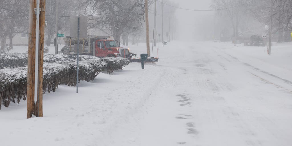
ST. LOUIS – Another major winter storm is about to unfold across major cities in the Plains and Midwest before heavy snow charges eastward into areas suffering from recent flooding in Kentucky and Tennessee. The storm will conclude with a blow to parts of the East Coast later this week.The FOX Forecast Center expects snow to first develop in the central Plains and mid-Mississippi Valley into Tuesday. A strong arctic high-pressure system to the north means the cold air needed for significant snow accumulations is in place as the system develops over the central U.S.Winter weather alerts have been posted from the central Plains through parts of West and Middle Tennessee and much of Kentucky.Some of the heaviest snow will fall across Missouri, Kansas, Illinois and Kentucky through Wednesday. Light snowfall was possible Monday in portions of Nebraska and Kansas, but the main event starts Tuesday in Missouri and the Ozarks. Travel along Interstate 49 and Interstate 44 could be dangerous due to heavy snow and gusty winds, reducing visibility. “You are looking at pure snow across Kansas and into much of Missouri, that dividing line of more of an icy combo,” FOX Weather Meteorologist Marissa Torres said. “The potential for freezing rain or freezing drizzle is a little bit farther to the south.”Major cities, including St. Louis and Springfield, Missouri, could see heavy snow. According to the FOX Forecast Center, this storm could bring Springfield’s snowiest day in over a decade if at least 8 inches of snow piles up.Cities in Kansas, including Topeka and Wichita, are forecast to see up to 8 inches of snow, with a foot of snow possible in Eureka. By Tuesday night, the storm will move into the Tennessee River Valley, which is still recovering from deadly flash flooding over the weekend. Some areas were still under flood alerts on Monday are also under Winter Storm Watches this week, including Kentucky. The biggest winter weather impacts will happen across this region on Wednesday. Paducah, Kentucky, could see up to a foot of snow, and between 3 and 5 inches of snow is forecast in portions of Middle Tennessee.Some computer forecast models showed a major snowstorm potential along the Interstate 95 corridor in the mid-Atlantic and Northeast late this week, but those regions are now likely to miss out on any meaningful snow as the latest forecast shows the system staying farther south.Accumulating snow appears most likely in the southern mid-Atlantic region, including parts of West Virginia, Virginia and North Carolina.Winter Storm Watches are in effect through Thursday for central and eastern Virginia and neighboring areas along the North Carolina Stateline. Snow accumulations could reach between 5 and 10 inches for these areas. Wind gusts around 35 mph will complicate travel with hazardous conditions on Wednesday evening. Be sure to check back with FOX Weather for updates throughout the week as the forecast for the mid-Atlantic comes into better focus in the days ahead.


